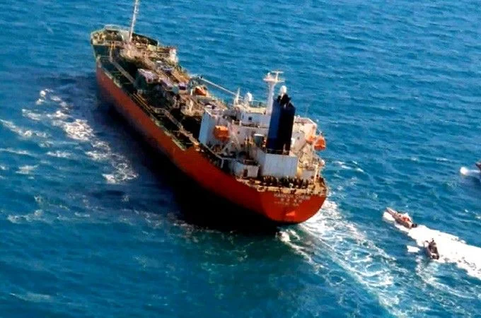
Modern conflict has shifted from physical projectiles to the electromagnetic spectrum, with invisible waves now dictating the safety of global shipping lanes. In the Strait of Hormuz—one of the world’s most critical oil corridors—maritime experts are sounding the alarm over widespread GPS jamming that is creating “ghost” clusters of ships. Digital maps now show hundreds of vessels appearing in impossible locations, including perfect circles or even deep inland, as their navigation signals are scrambled.
Michelle Wiese Bockmann of Windward highlights that this “next-level” interference forces massive tankers to navigate blindly regarding the positions of others. While GPS helps a captain know their own coordinates, the real danger lies in the failure of the Automatic Identification System (AIS), which ships use to prevent collisions. In poor visibility or at night, the inability to verify the true location of a 300-meter tanker creates a massive risk of environmental and human catastrophe.
Analysts from the Royal United Services Institute (RUSI) suggest that while no official party has claimed responsibility, the technology likely originates from domestic Iranian production or Russian and Chinese equipment. Simultaneously, U.S. forces in the region may be utilizing jamming systems as a defensive measure against GNSS-guided drones and weapons.
As the vulnerability of open satellite signals becomes undeniable, the maritime and defense industries are pivoting toward “anti-jam” technologies. Companies like Raytheon UK and Advanced Navigation are developing puck-sized antenna systems and alternative positioning methods—such as star-mapping, optical satellite imagery, and high-tech gyroscopes—to ensure that global trade can continue even when the “invisible battlefield” is at its peak.