refresh cycles may be increasing operational risk for businesses in Africa")
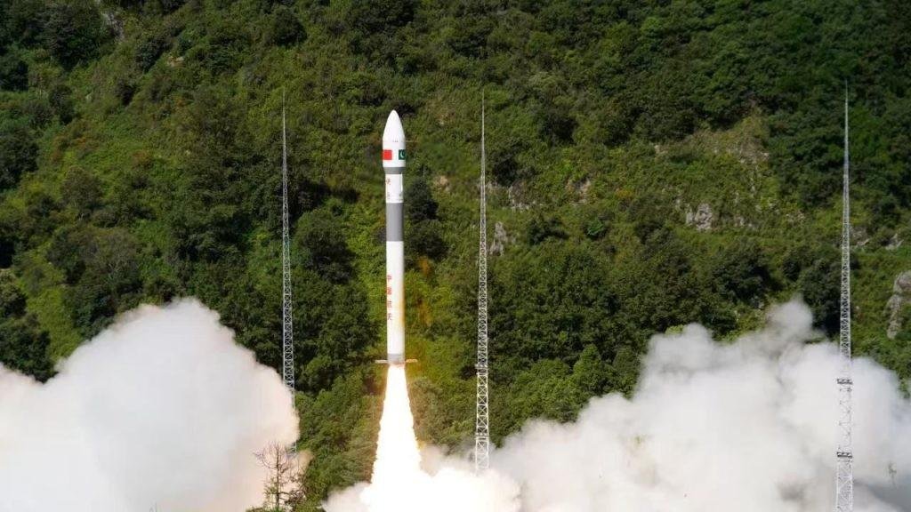
Islamabad – The Space and Upper Atmosphere Research Commission (SUPARCO) confirmed on Saturday that Pakistan’s newly launched remote sensing satellite has successfully reached orbit and is fully operational, delivering excellent performance. The satellite was launched from the Xichang Satellite Launch Center (XSLC) in China on July 31, 2025.
Following its deployment, the satellite established stable communication with ground stations and has begun capturing and transmitting high-resolution images, providing vital data for a range of national sectors.
Key Capabilities and Applications
- Urban & Infrastructure Planning – supporting urban development, monitoring sprawl, and guiding infrastructure projects.
- Disaster Management – strengthening early-warning and rapid-response systems for floods, landslides, earthquakes, and other natural hazards.
- Environmental Protection – monitoring glaciers, deforestation, and climate change indicators.
- Agriculture – improving crop monitoring and boosting productivity through precise data.
- National Development Projects – aiding the China-Pakistan Economic Corridor (CPEC) by mapping transport routes, identifying geo-hazards, and optimizing resource management.
SUPARCO experts stressed that the satellite will enhance decision-making across sectors, support sustainable socio-economic growth, and reinforce Pakistan’s technological self-reliance in space science.
“This milestone highlights Pakistan’s progress in space-based technologies and SUPARCO’s commitment to advancing national infrastructure and development,” officials noted.
The mission not only provides a foundation for greater self-reliance in space sciences but also opens new opportunities for sustainable growth, environmental stewardship, and digital transformation in critical industries.