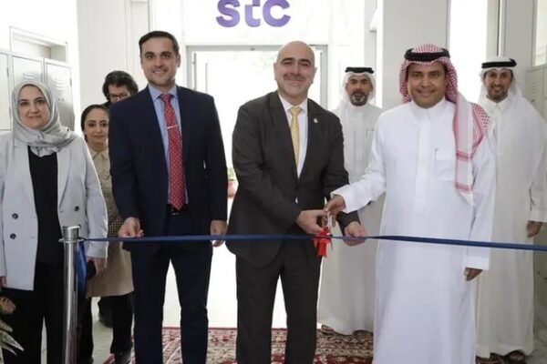
Batelco by Beyon, Qareeb partner to launch Bahrain’s first Edge Data Center
Batelco by Beyon and Qareeb Data Centers have partnered to launch Bahrain’s first edge data center. Operated by Qareeb through a long-term lease, the facility will provide sovereign, low-latency, AI-ready co-location services, strengthening regional digital infrastructure and supporting enterprise and cloud workloads across the GCC.


