Algeria has successfully launched the Alsat-3A Earth observation satellite, significantly strengthening the country’s geospatial and remote sensing capabilities.
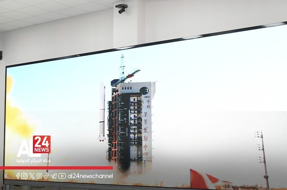
The launch was supervised on January 15 by Army General Saïd Chanegriha, Minister Delegate to the Minister of National Defence and Chief of Staff of the People’s National Army, from the Remote Sensing Satellite Station in Algeria. Alsat-3A was launched at 5:01 a.m. local time from the Jiuquan Launch Base in northwest China, as part of Algeria’s partnership with the China Aerospace Science and Technology Corporation.
The operation was attended by senior officials from the Ministry of National Defence and the General Staff of the People’s National Army, the Ambassador of the People’s Republic of China to Algeria, the Director General of the Algerian Space Agency (ASAL), and the Defence Attaché at the Chinese Embassy in Algiers.
According to the Ministry of National Defence, the launch was fully successful and will provide Algeria with very high-resolution satellite imagery dedicated to observation. The new satellite strengthens national capabilities in geospatial intelligence and value-added spatial information, including advanced mapping and digital terrain models.
Alsat-3A builds on Algeria’s existing Earth observation programme, which began with Alsat-1 in 2002, followed by Alsat-2A in 2010 and Alsat-2B in 2016. The ministry noted that Algerian experts contributed directly to the project, underscoring national progress in mastering space technologies.
The launch marks a new milestone in Algeria’s space programme and reinforces the country’s ability to support environmental monitoring, territorial management, and strategic planning through advanced satellite data.